Walk 17. Milltimber to Belskavie Tower (Newmill Hill)
Summary
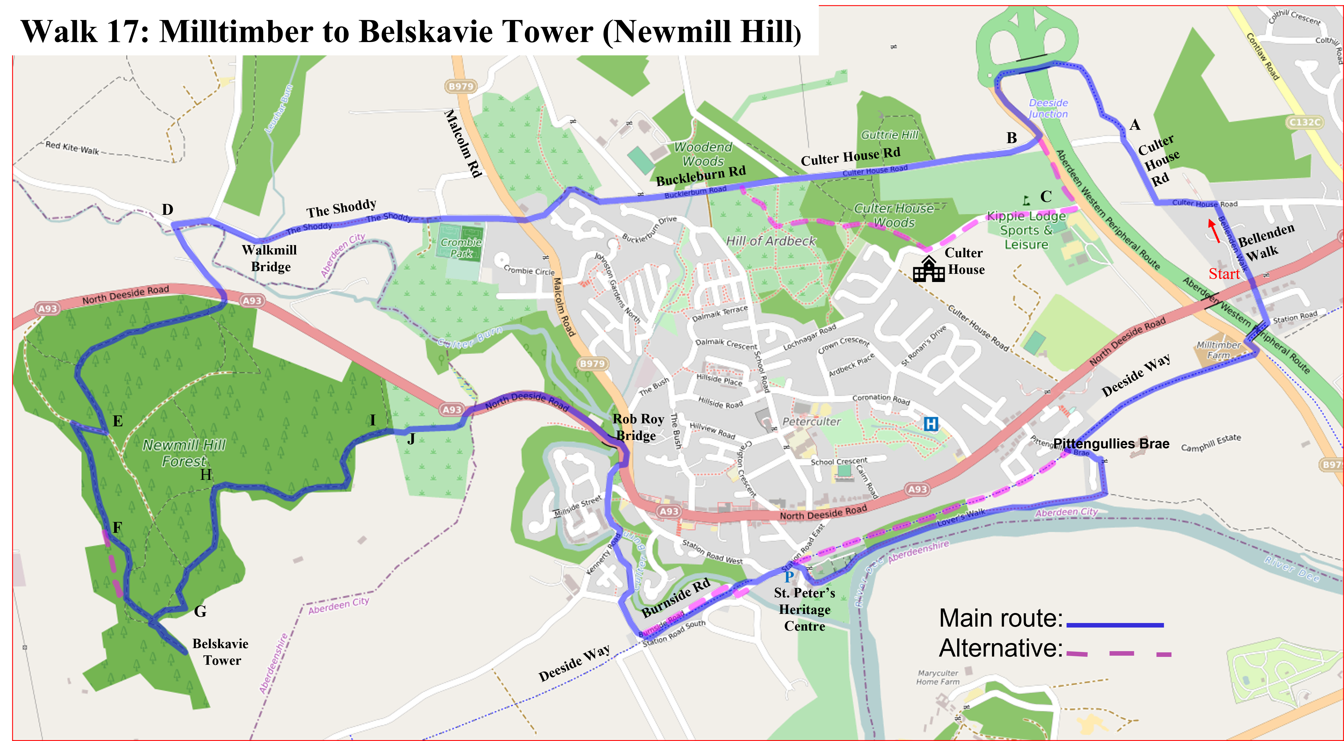
This seven-mile circular walk starts from the North Deeside Road at the entrance to Bellenden Walk, goes via Culter House and Buckleburn Roads (crossing Malcolm Road in Peterculter) to Newmill Hill and the Belskavie Tower. Return via the south side of the plantation to the North Deeside Road and then joins the Deeside Way, Lover’s Walk, and a final stretch on the Deeside Way. There are bus stops on the North Deeside Road close to Bellenden Walk. If joining the walk by car, the St. Peter’s Heritage Centre carpark is convenient. Some deviations are included, these are in the text or in a separate box at the appropriate point. Letters indicate positions on the map.
Walk Details
- Grade: Moderate.
- Terrain: Mixed. Tracks & rough paths but some road.
- Distance: 7.1 ml; 11.4 km.
- Total Ascent: 806 ft; 246 m.
- Time: Allow 3.5 hours.
- GPX: Yes
Directions
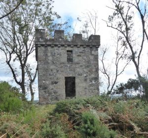
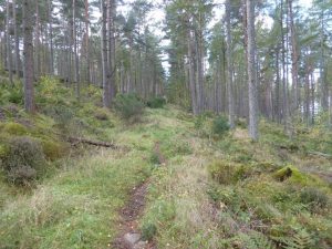
Walk up Bellenden Walk (a private road) and turn left into Culter House road. Follow this round to the right and at shortly, where (A) the road goes left (to a dead end) go along the new footpath which is straight ahead; this takes you over the AWPR. At the roundabout go downhill and cross over to join the Culter House Road again (B), the Kippie Lodge golf course will be on your left. There is a long straight section with no pavement so walk with care. At the end where the road turns right, join the track going straight ahead (Buckleburn Road). Hill of Ardbeck is on the left and the track takes you down to Malcolm Road. After crossing over head straight down, past the Culter Football ground, and you will reach, via what is known as the ‘Shoddy Road’, an old, 1710, stone bridge over Culter burn (Waulkmill Bridge), with the mill, now a private house, on the far side. Continue on and when your reach the next junction (D), turn left up to the North Deeside road. Cross over with care and head up a narrow path, bearing right. On reaching a more major path at a T-junction, turn right. The path climbs steadily and curves to the left. Keep to this path till you arrive at another T-junction (E) with a well-defined track. Turn right and then left after about 100 yards. After roughly a quarter of a mile the path veers to the left and a more minor path goes straight ahead (F). You can follow this minor path but it gets quite overgrown with broom. Better to follow the path you were on and take the first turning off to the right and this leads, via a short steep and slippery section, to the Belskavie tower which stands on top of a granite outcrop. There are fine views to the south.
Retrace your path to the path you were on before turning right and turn right. The path leads to a further viewpoint at the edge of the wood (G). From here follow paths anti-clockwise around the plantation, sometimes close to the field border, at other times twenty yards or so away from the edge. At point (H) the path descends sharply and turn sharp right at this point. At point I keep to the right and cross over a stone wall. A few yards (J) on take the left fork and this takes you down to the North Deeside Road. Cross to the pavement opposite and head east, crossing over Culter burn gorge at the ‘Rob Roy’ bridge.
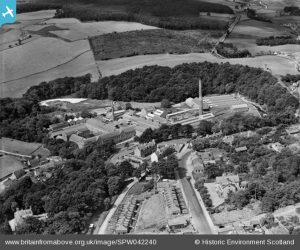
After the bridge turn right down Millside Street, past flats. This was area was previously the site of the Peterculter Paper Mills, founded in 1751, which had its own siding off the Deeside railway. By the 1950’s it employed 600 people housed on a 35-acre site. The road crosses the Culter burn at another smaller gorge. Take first left pass the former upper Kennetty corn mill and when you approach the bridge under the Deeside Way turn left (Burnside Road and) climb the steps onto the Deeside Way. Alternatively follow the road parallel to the Deeside Way and re-join the Deeside Way where it descends to the road. Continue to St. Peter’s Heritage Centre and head down the path (between the village hall and cemetery) to the river and follow ‘Lover’s Walk’ along the river. At the far end take the track up by Camphill School (on the right) to join Pittengullies Brae. Re-join the Deeside Way and cross the AWPR by the bridge. Leave the Deeside way by taking the first left, a few yards after the bridge, to arrive at the North Deeside Road.
Thanks to Jane and Neil Macmillan who devised this walk.
